Accessibility in Mexican Cities
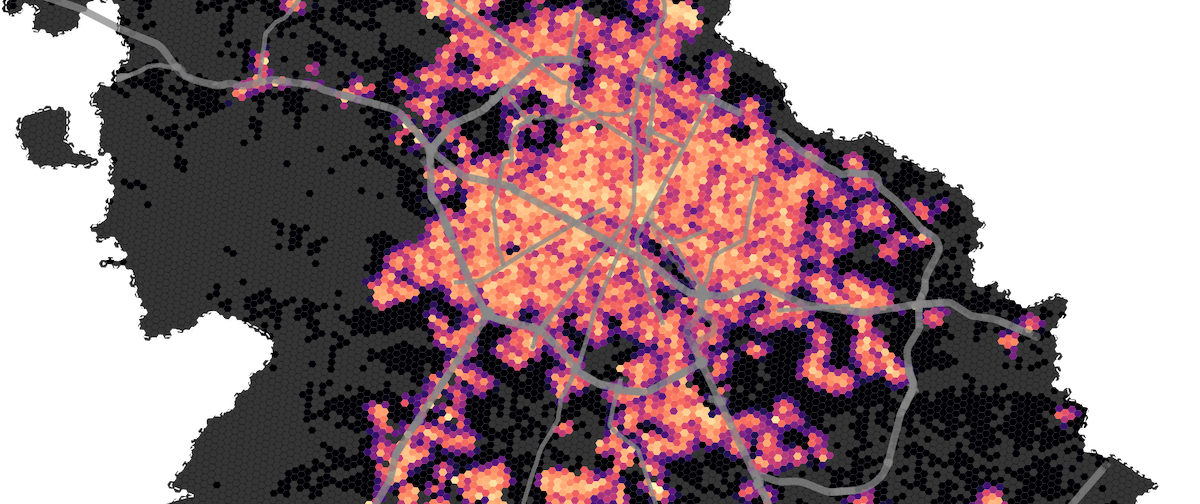
As a coolaboration with the Urban Observatory from Tec de Monterrey, we developed a methodology to identify accesibility levels to food and healthcare services in all 74 Mexico's metropolitan areas. The methodology and results, were fundamental to highlight inequalities across cities, and engage in a public disucssion about healthy cities.
Project Overview
This project examines urban accessibility to essential services across Mexican cities during the COVID-19 pandemic. Using open source geospatial data, the analysis evaluates how residents can reach food stores and healthcare facilities, identifying areas with limited access and informing public health policy decisions.
Key Features
Technologies
Built with Python and geospatial analysis tools. Leaverages python-based algorithms, andcoutry-wide open data, to identify accesibility, and population covered by different accesibility levels. The research provided actionable insights for urban planning and public health policy.